Idaho Regional Airport Weather Sites
This page has been replaced by a graphical map page.
You will be forwarded momentarily.
Please replace any bookmarks you have for this page.
DISCLAIMER: The information provided on this site is provided without warrantee. Though we do our best to provide accurate and up to date information, circumstances may occur that affect the accuracy of our information. You are advised to use your best judgement as you plan your venture.
Table of Contents
Click on an image to see an enlarged version. The thumbnail images
don't update automatically, but you can click your browser's update button ( or
or  ) to see the latest
versions.
Click on the "Weather" text below the thumbnail report to see the current
weather conditions.
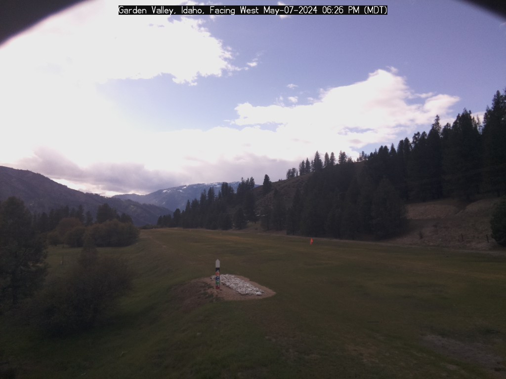
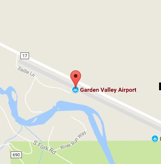
Garden Valley Airport (Sponsored by Idaho Aviation Foundation )
Wind: West-northwest 0 mph
69.7°F 
Weather
East Webcam
West Webcam
Map
Actual Altitude: 3130 ft | Estimated Air Density Altitude: Not Current ft
Sponsored by:
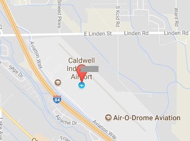
Caldwell Airport (Sponsored by Dr. Paul Collins)
Wind: 0 mph
0°F 

Weather
NorthWest Webcam
East Webcam
Map
Actual Altitude: 2431 ft | Estimated Air Density Altitude: Not Current ft
Payette, Idaho Airport

East Webcam
Map
Weiser Airport, Idaho (Sponsored by City of Weiser)
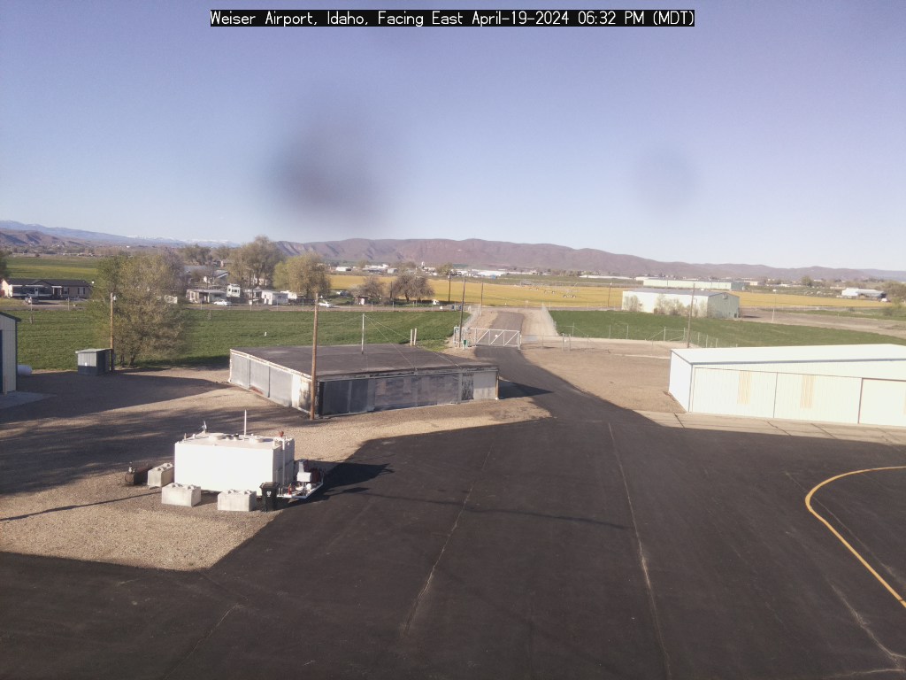
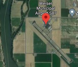
Idaho Falls Airport, Idaho (Sponsored by Aero-Mark)
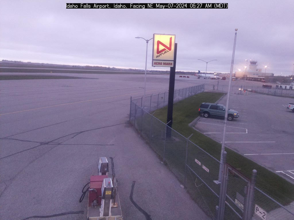
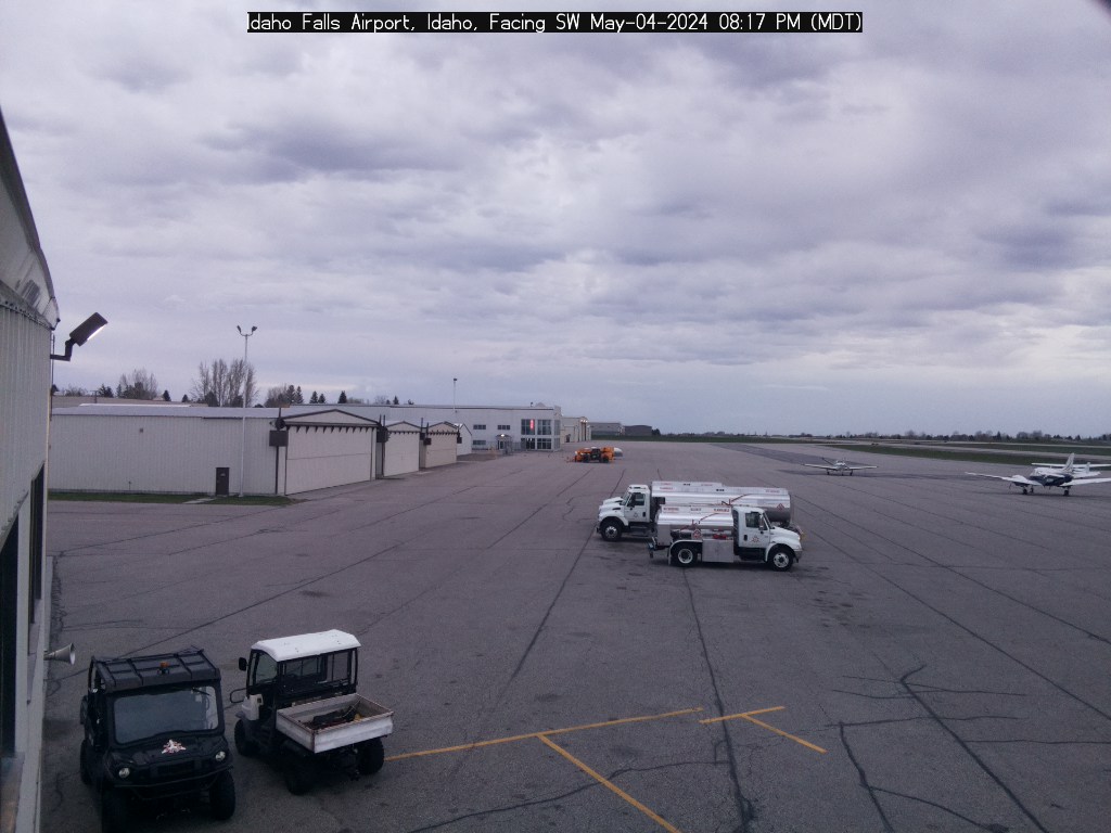

NorthEast Webcam SouthWest Webcam
Map
Twin Falls Airport, Idaho (Sponsored by Reeder Flying Services)
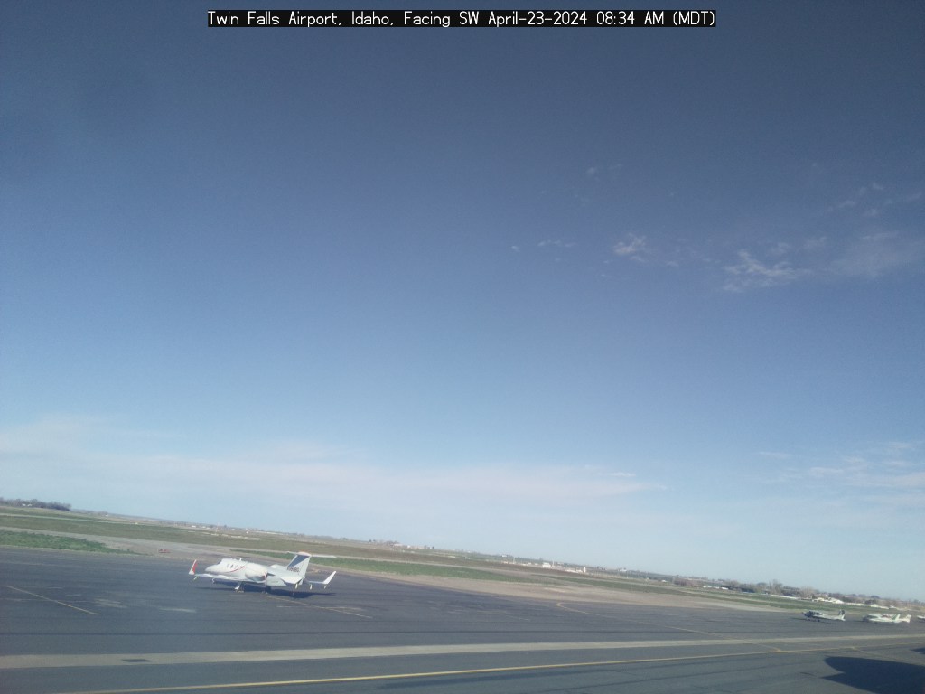


SouthWest Webcam SouthEast Webcam
Council Airport (Sponsored by Life Flight)
Wind: NorthWest ( 309° ) at 1 mph
37.7°F 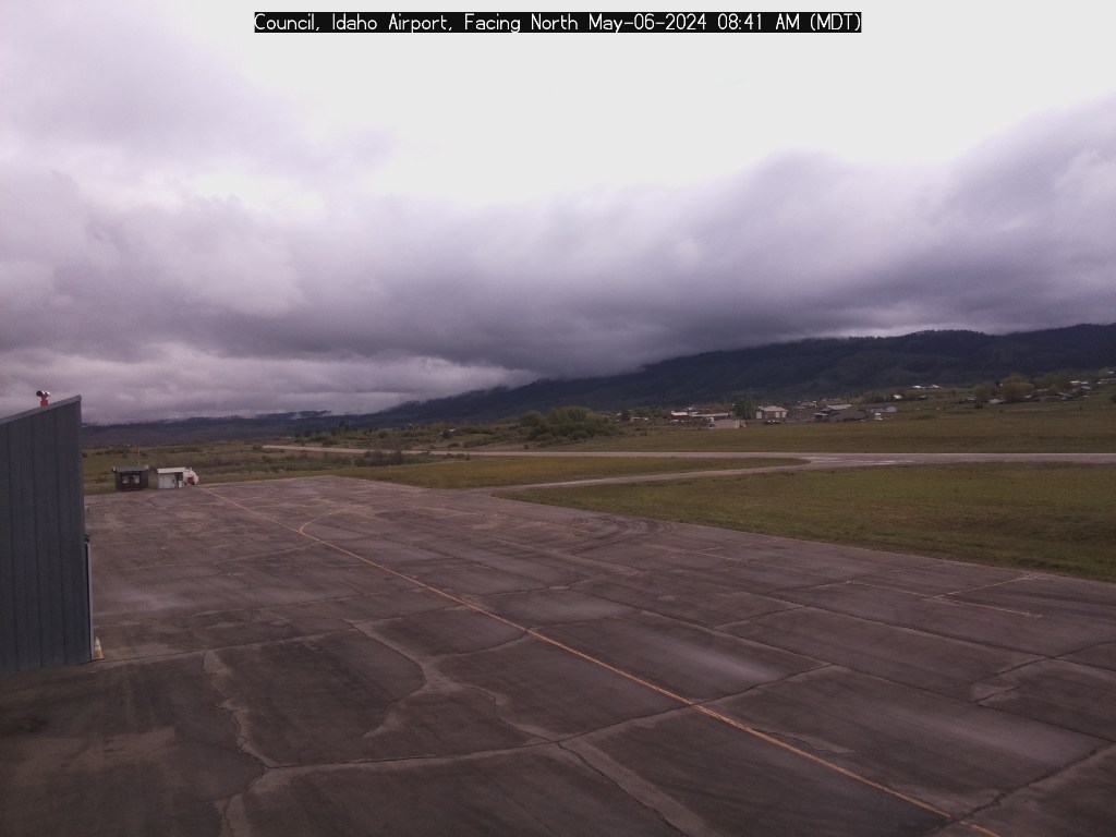
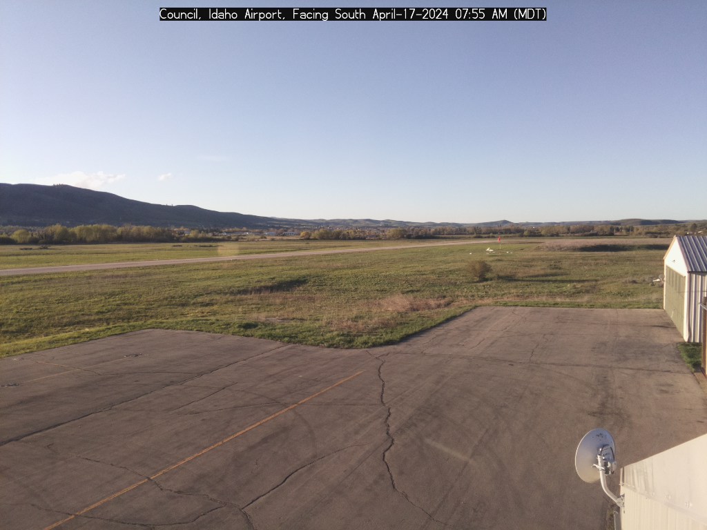

Weather
North Webcam
South Webcam NW Webcam
Map
Actual Altitude: 2966 ft | Estimated Air Density Altitude: 2400 ft
Sponsored by:
Eye-n-Sky LLC designs and builds these weather stations for pilots,
recreationists, and other back-country users.
Return to Eye-n-Sky LLC Home Page
for information on purchasing a weather station for your ranch or airstrip.


